Difference between revisions of "Lynching Map"
From WikiMarion
Superjoe46 (talk | contribs) |
Superjoe46 (talk | contribs) |
||
| Line 2: | Line 2: | ||
40.525234, -85.624845, lovers lane | 40.525234, -85.624845, lovers lane | ||
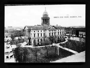
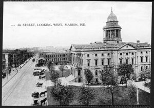
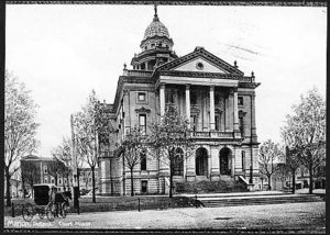
40.558295, -85.659227, Court House [[image:v000349r.jpg|center|300px]] | 40.558295, -85.659227, Court House [[image:v000349r.jpg|center|300px]] | ||
| − | |||
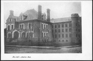
40.559012, -85.657675, Jail <br> [[image:v000567r.jpg|center|300px]] | 40.559012, -85.657675, Jail <br> [[image:v000567r.jpg|center|300px]] | ||
40.558925, -85.657641, -85.65764340.558817, -85.65856640.55851, -85.658859 | 40.558925, -85.657641, -85.65764340.558817, -85.65856640.55851, -85.658859 | ||
Revision as of 06:33, 23 May 2011
<googlemap lat="40.543548" lon="-85.658684" zoom="13" width="600" height="400" controls="large"> 40.525234, -85.624845, lovers lane
40.558295, -85.659227, Court House 40.559012, -85.657675, Jail40.558925, -85.657641, -85.65764340.558817, -85.65856640.55851, -85.658859 40.561792, -85.684446, The Residence of Mary Ball and her family. The location according to the Marion City Directory 1929. 40.528285, -85.663505, The Residence of Abram Smith. The location according to the Marion Public Library: 40.557169, -85.658398, Marion Malleable Iron Works: The Marion Iron Works employed 40.552263, -85.693274, Northern Indiana Power Track Station Shoe Parlor
40.558034, -85.658576, East Side of Court House 40.557895, -85.659349,</googlemap>


