Difference between revisions of "Map View"
From WikiMarion
| Line 2: | Line 2: | ||
40.560243, -85.620575, Marion, IN, USA | 40.560243, -85.620575, Marion, IN, USA | ||
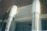
40.562525, -85.658684, [[image:Coliseum_Door.jpg]]<br>[[Memorial Coliseum]] | 40.562525, -85.658684, [[image:Coliseum_Door.jpg]]<br>[[Memorial Coliseum]] | ||
| − | 40.527142, -85.664091, [[image:McCullough1924_large.jpg|300px]]<br>J. L. McCulloch School | + | 40.527142, -85.664091, [[image:McCullough1924_large.jpg|300px]]<br>[[J.L.McCulloch School]] |
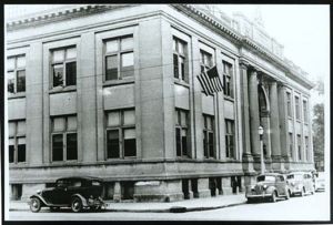
| + | 40.555939, -85.660207, [[Image:Marion_Public_Library.jpg|300px]]<br>[[Carnegie Building]] | ||
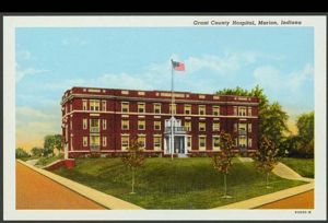
| + | 40.564, -85.665443, [[Image:Marion_General_Hospital_2.jpg|300px]]<br>[[Marion General Hospital]] | ||
| + | 40.558433, -85.666827, [[MHSrebuilt1.jpg|300px]]<br>Old [[Marion High School]] | ||
</googlemap> | </googlemap> | ||
Revision as of 20:23, 20 June 2007
<googlemap lat="40.56409" lon="-85.664692" zoom="14" width="820" height="475">
40.560243, -85.620575, Marion, IN, USA
40.562525, -85.658684, 
Memorial Coliseum
40.527142, -85.664091, 
J.L.McCulloch School
40.555939, -85.660207, 
Carnegie Building
40.564, -85.665443, 
Marion General Hospital
40.558433, -85.666827, 300px
Old Marion High School
</googlemap>