Difference between revisions of "Map View"
| Line 1: | Line 1: | ||
<googlemap lat="40.56409" lon="-85.664692" zoom="14" width="820" height="475"> | <googlemap lat="40.56409" lon="-85.664692" zoom="14" width="820" height="475"> | ||
| − | |||
40.562525, -85.658684, [[image:Coliseum_Door.jpg]]<br>[[Memorial Coliseum]] | 40.562525, -85.658684, [[image:Coliseum_Door.jpg]]<br>[[Memorial Coliseum]] | ||
40.527142, -85.664091, [[image:McCullough1924_large.jpg|300px]]<br>[[J.L.McCulloch School]] | 40.527142, -85.664091, [[image:McCullough1924_large.jpg|300px]]<br>[[J.L.McCulloch School]] | ||
| Line 9: | Line 8: | ||
40.415024, -85.650734, [[Image:Scott_Opera_House.jpg|300px]]<br>[[Scott Opera House]] | 40.415024, -85.650734, [[Image:Scott_Opera_House.jpg|300px]]<br>[[Scott Opera House]] | ||
40.518513, -85.668501, [[image:Teter_Hall_at_Marion_Normal.jpg|300px]]<br>[[Teter Hall]] | 40.518513, -85.668501, [[image:Teter_Hall_at_Marion_Normal.jpg|300px]]<br>[[Teter Hall]] | ||
| − | 40.556714, -85.659735, [[Image:JimmyS.JPG|300px]]<br>[[Marion Civic | + | 40.556714, -85.659735, [[Image:JimmyS.JPG|300px]]<br>[[Marion Civic Theatre]] |
40.55532, -85.66083, [[Image:Jay_Residence.jpg|300px]]<br>[[Abijah C. Jay House]] | 40.55532, -85.66083, [[Image:Jay_Residence.jpg|300px]]<br>[[Abijah C. Jay House]] | ||
40.561588, -85.662621, [[Image:Funeralhome.jpg|300px]]<br>[[225 West Spencer]] | 40.561588, -85.662621, [[Image:Funeralhome.jpg|300px]]<br>[[225 West Spencer]] | ||
| Line 15: | Line 14: | ||
40.554007, -85.659521, [[Image:Seeker_House.jpg|300px]]<br>[[Seeker House]] | 40.554007, -85.659521, [[Image:Seeker_House.jpg|300px]]<br>[[Seeker House]] | ||
40.552646, -85.660213, [[image:New_York_Sanitarium.jpg|300px]]<br>[[Seeker_House#Charles_Kile.27s_Sanitarium|New York Sanitarium]] | 40.552646, -85.660213, [[image:New_York_Sanitarium.jpg|300px]]<br>[[Seeker_House#Charles_Kile.27s_Sanitarium|New York Sanitarium]] | ||
| + | 40.465313, -85.735827, [[Image:PattengaleFarm.jpg|300px]]<br>[[Pattengale House]] | ||
| + | 40.564039, -85.668023, [[Image:MunnHouseArticle.jpg|300px]]<br>[[Munn House]] | ||
| + | 40.579289, -85.674436, [[Image:Kleder_House.jpg|300px]]<br>[[Kleder House]] | ||
| + | 40.589336, -85.733775, [[Image:TawatawHouse.jpg|300px]]<br>[[Nelson Tawataw Home]] | ||
| + | 40.558067, -85.664121, [[Image:Painted_Lady.JPG|300px]]<br>[[The Painted Lady]] | ||
| + | 40.524498, -85.662747, [[Image:3701_South_Nebraska_St.jpg|300px]]<br>[[3701 South Nebraska Street]] | ||
| + | 40.562601, -85.667114, [[Image:Phipps_House.jpg|300px]]<br>[[Phipps House]] | ||
| + | 40.563029, -85.659531, [[Image:Meyer_House.jpg|300px]]<br>[[Meyer House]] | ||
| + | 40.574644, -85.659349, [[Image:Charles_Mill.jpg|300px]]<br>[[Charles Mill]] | ||
| + | 40.559456, -85.663179, [[Image:Ken%27s_Barbershop.jpg|300px]]<br>[[Ken's Barbershop]] | ||
| + | 40.557741, -85.660223, [[Image:Marion_National_Completed.jpg|300px]]<br>[[Marion National Bank]] | ||
| + | 40.562456, -85.660046, [[Image:DavisClinic.jpg|300px]]<br>[[Davis Clinic]] | ||
| + | 40.553954, -85.658786, [[Image:Howard_Auto_Sales_Sign.jpg|300px]]<br>[[Howard Auto Sales]] | ||
| + | 40.552112, -85.663115, [[Image:Bethel_A.M.E._Church.JPG|300px]]<br>[[Bethel A.M.E. Church]] | ||
| + | 40.544689, -85.65267, [[Image:Marion_Paper_Box_Angle.JPG|300px]]<br>[[Marion Paper Box]] | ||
| + | 40.547689, -85.658281, [[Image:Platonian2.jpg|300px]]<br>[[Platonian Apartments]] | ||
| + | 40.592016, -85.660615, [[Image:Country_Club_Postcard.jpg|300px]]<br>[[Meshingomesia Country Club]] | ||
</googlemap> | </googlemap> | ||
Revision as of 21:55, 20 June 2007
<googlemap lat="40.56409" lon="-85.664692" zoom="14" width="820" height="475">
40.562525, -85.658684, 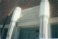
Memorial Coliseum
40.527142, -85.664091, 
J.L.McCulloch School
40.555939, -85.660207, 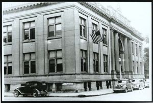
Carnegie Building
40.564, -85.665443, 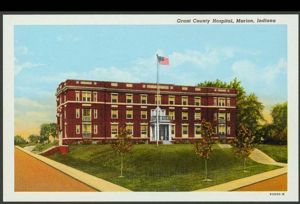
Marion General Hospital
40.558433, -85.666827, 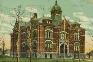
Old Marion High School
40.41241, -85.646185, 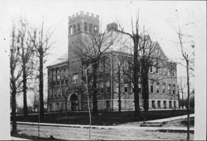
Fairmount High School
40.415024, -85.650734, 
Scott Opera House
40.518513, -85.668501, 
Teter Hall
40.556714, -85.659735,
Marion Civic Theatre
40.55532, -85.66083, 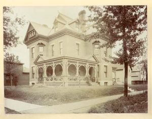
Abijah C. Jay House
40.561588, -85.662621, 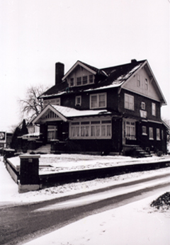
225 West Spencer
40.562912, -85.669517, 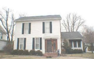
Percy Nussbaum House
40.554007, -85.659521, 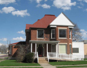
Seeker House
40.552646, -85.660213, 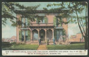
New York Sanitarium
40.465313, -85.735827, 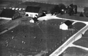
Pattengale House
40.564039, -85.668023, 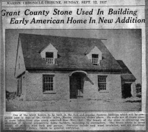
Munn House
40.579289, -85.674436, 
Kleder House
40.589336, -85.733775, 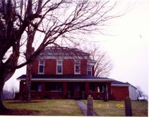
Nelson Tawataw Home
40.558067, -85.664121,
The Painted Lady
40.524498, -85.662747, 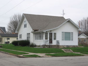
3701 South Nebraska Street
40.562601, -85.667114, 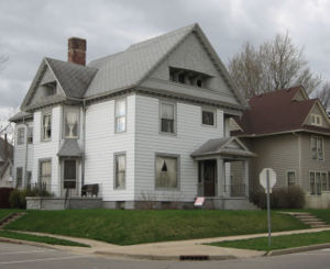
Phipps House
40.563029, -85.659531, 
Meyer House
40.574644, -85.659349, 
Charles Mill
40.559456, -85.663179, 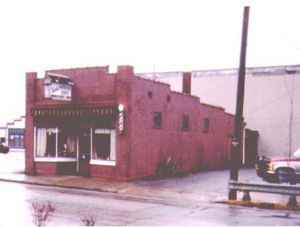
Ken's Barbershop
40.557741, -85.660223, 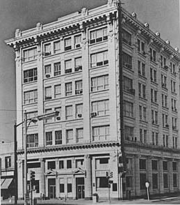
Marion National Bank
40.562456, -85.660046, 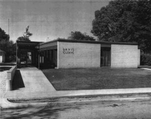
Davis Clinic
40.553954, -85.658786, 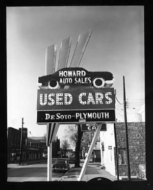
Howard Auto Sales
40.552112, -85.663115,
Bethel A.M.E. Church
40.544689, -85.65267,
Marion Paper Box
40.547689, -85.658281, 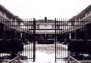
Platonian Apartments
40.592016, -85.660615, 
Meshingomesia Country Club
</googlemap>
