Lynching Map
<googlemap lat="40.543548" lon="-85.658684" zoom="13" width="600" height="400" controls="large"> 40.525234, -85.624845, Lovers Lane: The Exact location is unknown because the name of the road was given by the towns people and the records stated the road as Todd Street.
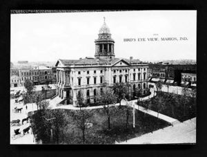
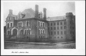
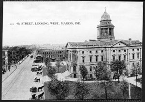
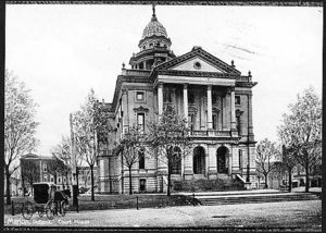
40.558295, -85.659227, Court House: 40.559012, -85.657675, Jail: This is the place at which the accused Tom Shipp, James Cameron, and Abram Smith waited all day as a mob of angry towns people began to accumulate outside on August 6, 1930.40.561792, -85.684446, The Residence of Mary Ball and her family: The location according to the Marion City Directory 1929. 40.528285, -85.663505, The Residence of Abram Smith: The location according to the Marion Public Library: 40.557169, -85.658398, Marion Malleable Iron Works: The Marion Iron Works employed Tom Shipp up until his assumption of the rape of Mary Ball and the murder of Clyde Deeter. 40.552263, -85.693274, Northern Indiana Power Track Station Shoe Parlor: This was the place at which James Cameron was employed up until his assumption of aiding in the rape of Mary Ball and the murder of Clyde Deeter.
40.558034, -85.658576, East Side of Court House: < |body|Just off the screen to the North side of the image below is the tree at which Tom Shipp and Abram Smith were hung in the night of August 6,1930. > 40.557895, -85.659349,</googlemap>


