Lynching Map
<googlemap lat="40.552776" lon="-85.695291" zoom="17">
40.525234, -85.624845, lovers lane
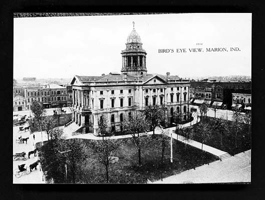
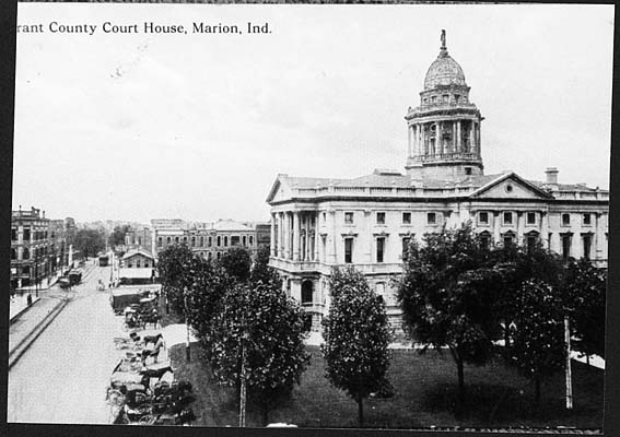
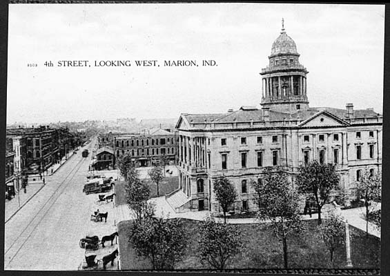
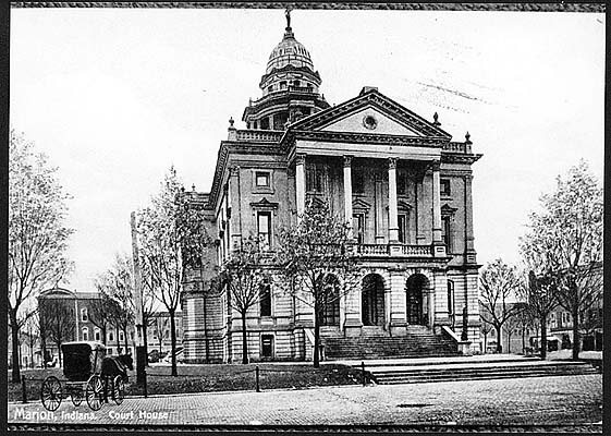
40.558295, -85.659227, court house 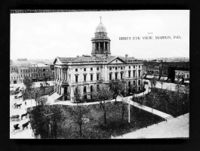 40.557476, -85.65387, Armory
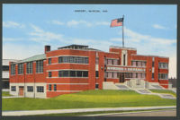 40.53835, -85.643926, ???
40.559012, -85.657675, Jail
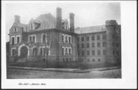 40.558925, -85.657641, -85.65764340.558817, -85.65856640.55851, -85.658859
40.561792, -85.684446, The Residence of Frank H Baugh. The location according to the Marion Public Library:
40.528285, -85.663505, The Residence of Abram Smith. The location according to the Marion Public Library:
40.557169, -85.658398, Marion Malleable Iron Works
40.552263, -85.693274, Northern Indiana Power Track Station Shoe Parlor
</googlemap>
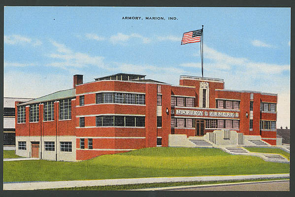
 File:V000371r.jpg
File:V000372r.jpg
File:V000373r.jpg
File:V000374r.jpg
File:V000376r.jpg
File:V000377r.jpg
File:V000378r.jpg
File:V000379r.jpg
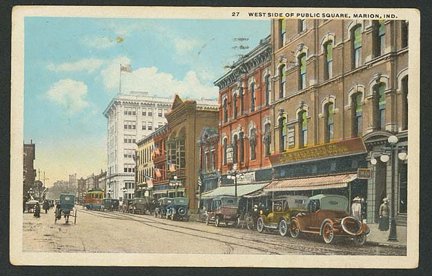 square 27th
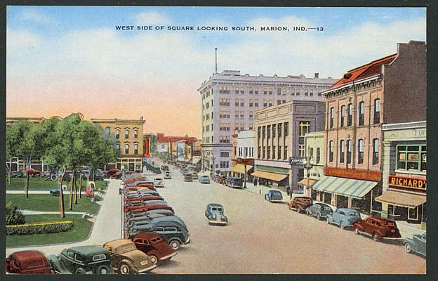 File:V000608r.jpg
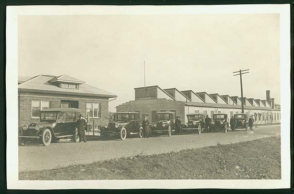 ?
?