|
<googlemap lat="40.558385" lon="-85.658941" zoom="14" width="340" height="310" controls="medium">
40.562525, -85.658684, 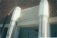
Memorial Coliseum
40.527142, -85.664091, 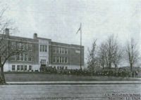
J.L.McCulloch School
40.555939, -85.660207, 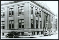
Carnegie Building
40.564, -85.665443, 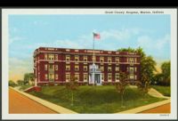
Marion General Hospital
40.558401, -85.66672, 
First Marion High School site
40.56193, -85.665089, 
Second Marion High School site
40.538264, -85.668769, 
Third Marion High School site
40.41241, -85.646185, 
Fairmount High School
40.415024, -85.650734, 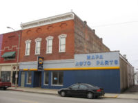
Scott Opera House
40.518513, -85.668501, 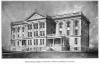
Teter Hall
40.556714, -85.659735, 
Marion Civic Theatre
40.55532, -85.66083, 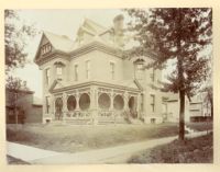
Abijah C. Jay House
40.561588, -85.662621, 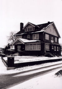
225 West Spencer
40.562912, -85.669517, 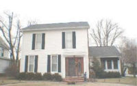
Percy Nussbaum House
40.554007, -85.659521, 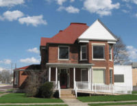
Seeker House
40.552646, -85.660213, 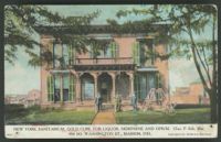
New York Sanitarium
40.465313, -85.735827, 
Pattengale House
40.564039, -85.668023, 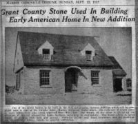
Munn House
40.579289, -85.674436, 
Kleder House
40.589336, -85.733775, 
Nelson Tawataw Home
40.558067, -85.664121, 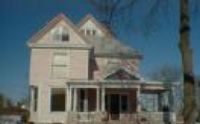
The Painted Lady
40.524498, -85.662747, 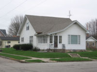
3701 South Nebraska Street
40.562601, -85.667114, 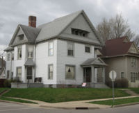
Phipps House
40.563029, -85.659531, 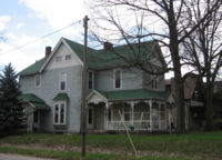
Meyer House
40.574644, -85.659349, 
Charles Mill
40.559456, -85.663179, 
Ken's Barbershop
40.557741, -85.660223, 
Marion National Bank
40.562456, -85.660046, 
Davis Clinic
40.553954, -85.658786, 
Howard Auto Sales
40.552112, -85.663115, 
Bethel A.M.E. Church
40.544689, -85.65267, 
Marion Paper Box
40.547689, -85.658281, 
Platonian Apartments
40.592016, -85.660615, 
Meshingomesia Country Club
40.552116, -85.661505, 
U.S. Glove Company
40.545642, -85.659818, 
Coca Cola Plant
40.489912, -85.679626, 
Marion Municipal Airport
40.588686, -85.674125, 
Woodside - by Frank Lloyd Wright
40.518991, -85.667535, 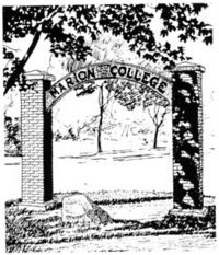
Marion College
40.562411, -85.667841, 
Broughman House
40.559004, -85.657654, 
Old Grant County Jail
40.55761, -85.667809, 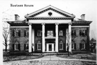
Wilson-Vaughan Hostess House
40.487974, -85.637419, 
Israel Jenkins House
40.559444, -85.659724, 
Columbian Block
40.529646, -85.657986, 
The Farnsworth Building (later RCA, Thomson)
40.553657, -85.659515, 
Gethsemane Episcopal Church
40.557496, -85.653845, 
Marion Armory
40.558236, -85.659923, 
Blumenthal-J.C. Penney
40.563976, -85.658904, 
The Swayzee-Love House
40.558921, -85.659328, 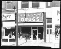
Freel And Mason Drug Co.
40.558916, -85.659247, 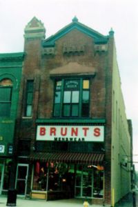
Brunts Menswear
40.557612, -85.655709, 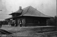
Cloverleaf Depot and Railroad
40.5876, -85.665545, 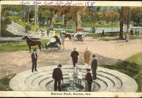
Matter Park
40.520716, -85.638943, 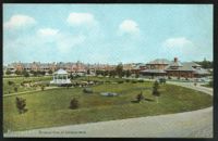
Veterans' Administration Medical Center
40.559094, -85.664274, 
Marion YMCA
40.444349, -85.64512, 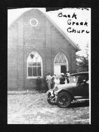
Back Creek Friends Church
40.558319, -85.659242, 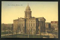
Grant County Courthouse
40.559591, -85.648674, 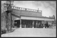
Ballard Field
40.533982, -85.64865, 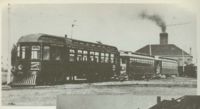
Trolley Power Station
40.528039, -85.662932, 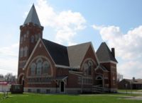
Allen Temple AME Church
40.556184, -85.660712, 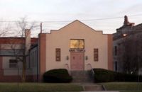
Sinai Temple
40.565459, -85.671655, 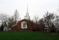
Westminster Presbyterian Church
40.554464, -85.661377, 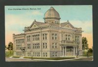
Old First Christian Church
40.562994, -85.667345, 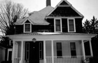
Wheeler-Luttrull House
40.559224, -85.658416, 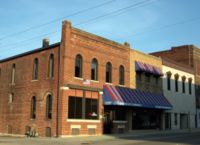
Chamber of Commerce Building
40.578867, -85.674514, 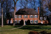
Heinzmann-Smith House
40.465887, -85.729365, 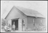
The town of Weaver
40.557659, -85.658362, 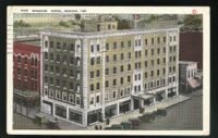
The Spencer Hotel
40.562158, -85.683156, 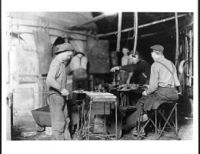
Canton Glass No. 2
40.562933, -85.683103, 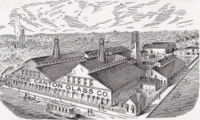
Canton Glass Company No. 1
40.571067, -85.654907, 
Foster-Forbes
40.545244, -85.692952, 
The York Inn
40.566446, -85.680388, 
Indiana Truck Corporation
40.563556, -85.668031, 
The Davis House
40.560019, -85.657101, 
Folkie's Tavern
40.568334, -85.66831, 
Borkland House
40.568269, -85.667827, 
Borkland Laboratories
40.558582, -85.665518, 
Hardin House
40.557154, -85.669088, 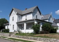
Reising House
40.557802, -85.659338, 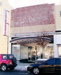
Playhouse Studio of Dance
40.562994, -85.671167, 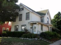
Case House
</googlemap>
You can browse WikiMarion geographically. For a larger map, click here.
This Old House
Histories of Significant Structures in Grant County
more...
Made in Marion
Histories of local industries
more...
|


.jpg)


